


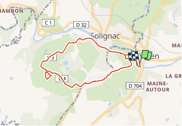

7,5 km | 9,6 km-effort


Utilisateur


Application GPS de randonnée GRATUITE
 SityTrail
IGN / Instituts géographiques
SityTrail World
Le monde est à vous
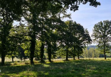
Randonnée Marche de 7,9 km à découvrir à Nouvelle-Aquitaine, Haute-Vienne, Le Vigen. Cette randonnée est proposée par cherno.
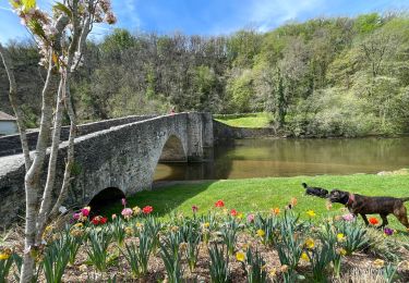
VIGEN:Attention, après avoir quitter les bords de la Briance c'est a dire après 5 petite MN de marche grande montée......courage après c'est plat ou ça descend


Marche

Marche
Marche

Marche nordique
Marche
Marche
Marche
Marche

V.T.T.